Need a professional land surveyor in north-central Oklahoma?
Services
-
Serving these north-central counties in Oklahoma:
Payne, Pawnee, Noble, Logan, Lincoln and Creek
-
Boundary Survey:
A boundary survey, (also called a pin survey) is a service in which the corners of the property are found or set by the land surveyor. A plat or map is created to show the property and monuments found or set during the survey.
• With the completion of the boundary survey, other services can be added to aid the property owner.
• Intermediate points can be set along the boundary lines to aid in the construction of a fence.
• The improvements (buildings, driveways, utilities, etc) can be collected and be shown on the plat to aid in the current or future use of the property.
• The property can be subdivided into smaller pieces and then sold.
• If title insurance is required for the property, then the standards of the ALTA / ACSM Land Title Survey can be added to the boundary survey. -
Federal Emergency Management Agency (FEMA) Elevation Certificates:
Municipalities and county floodplain boards need an elevation certificate to understand a house or structure’s relationship to the special flood hazard area. The property owner can obtain flood insurance with the aid of an elevation certificate.
-
Construction Staking:
• Building or house layout staking
• Road and utility construction staking
About
Boundaries is a land surveying business owned and operated by William Cole, a licensed Professional Land Surveyor since 2004. William has been involved in surveying since graduating from Oklahoma State University in 1990.
William Cole
Founder/Owner
Boundaries, A Land Surveying Company
Boundaries, A Land Surveying Company can perform your boundary survey.
We can provide:
a lot survey in a residential neighborhood
a survey of commercial business property
an ALTA / ACSM Land Title Survey
a rural boundary survey
a subdivision of new residential or commercial lots
or any other land-related survey
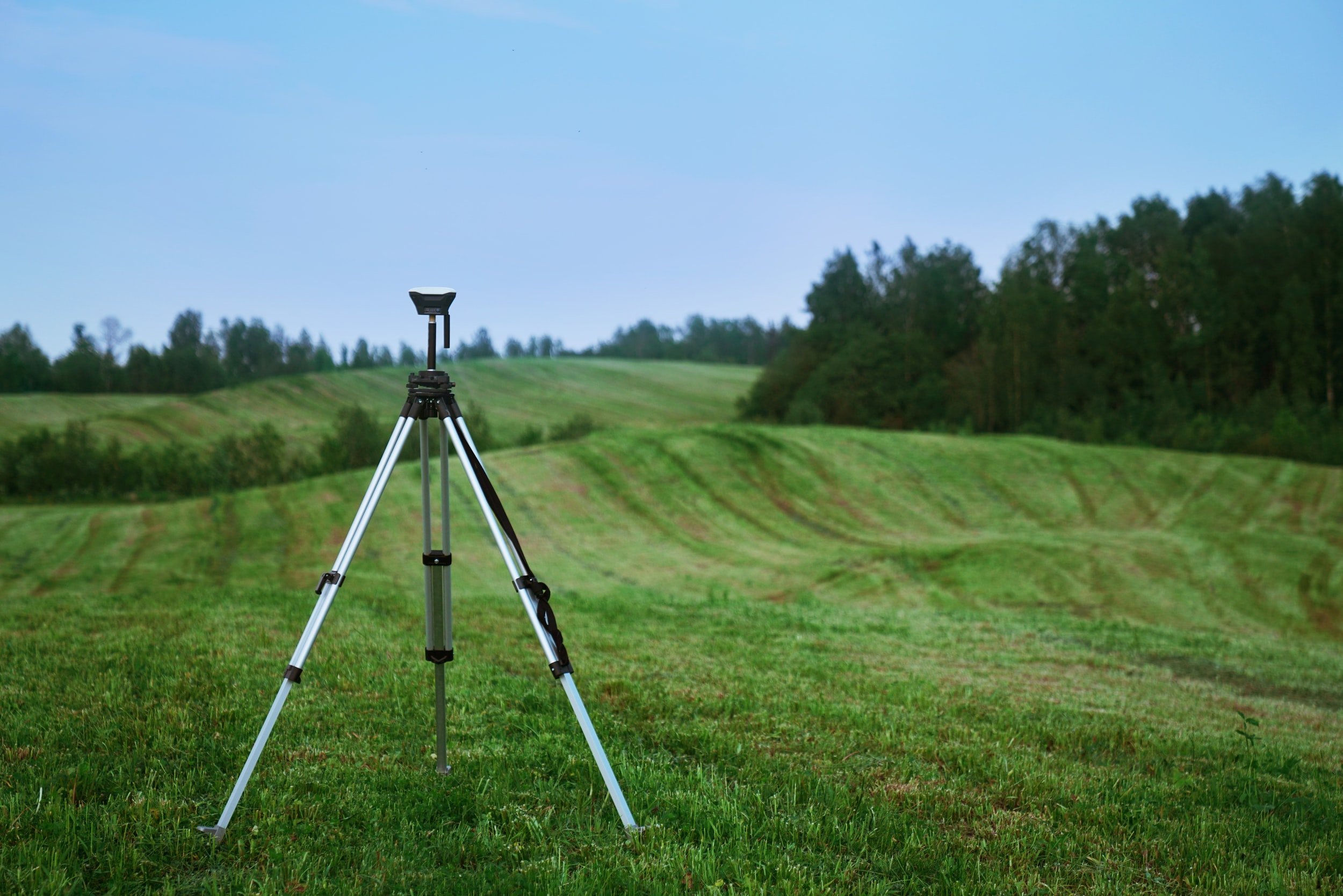
Boundaries, A Land Surveying Company, has a variety of equipment to complete your boundary survey. After reviewing your site conditions, the appropriate equipment will be used to complete your boundary survey.
